Li, Yue; Wang, Lixin; Diersing, Carlynn; Qiao, Na; Liu, Yi; Maggs-Kölling, Gillian; Marais, Eugene: Event-scale isotope data (δ2H and δ18O) of fog samples in Gobabeb, Namibia [dataset]. PANGAEA, https://doi.pangaea.de/10.1594/PANGAEA.979981 (dataset in review)
Abstract:
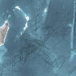
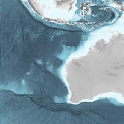
Fog water samples were collected at the Gobabeb - Namib Research Institute in the central Namib Desert, Namibia (-23°33′39.3″S, 15°02′24.6″E) between 2019 and 2022. This research institute is situated on the outer edge of the Namib fog zone, where visible fog is present along the Namib coast, about 60 km from the South Atlantic Ocean (Eckardt et al. (2013, doi:10.1016/j.jaridenv.2012.01.011; Kaseke et al. (2017, doi:10.1175/1520-0450(1994)033)). The Gobabeb - Namib Research Institute is located downstream of the Kuiseb River catchment, which flows from the eastern Knomas Highland to western Walvis Bay. The climate at Gobabeb is hyper-arid, with a multi-year (1962-2022) average annual rainfall of 30.5 mm and a multi-year (1966.1-2003.12 and 2006.10-2022.12) average annual fog amount of 112.1 mm. The Standard Fog Collectors (SFCs), designed according to Schemenauer and Cereceda (1994), were used to collect event-scale (i.e., daily) fog water samples for isotopic analysis. All the captured fog water ran down from the bottom of the collectors into a 1 L glass bottle anchored to the ground through a pipe sealed at both ends to minimize water evaporation. After fog water sample collections in the morning, they were transferred into a 15 ml Qorpak French square bottle and sealed with a Black Phenolic Pulp/Vinyl Lined Cap. All the water samples were stored in the refrigerator at the Gobabeb - Namib Research Institute until shipment to the Indiana University Indianapolis Ecohydrology Lab for isotope analysis. The majority of event-based daily fog water at the Gobabeb - Namib Research Institute was opportunistically and equably sampled across seasons throughout the study period. The annual fog water sampling coverage exceeded 85% throughout the study period. These observational fog isotope datasets at the Gobabeb - Namib Research Institute in the central Namib Desert, Namibia provide valuable insights into the processes governing dryland water cycle patterns and their responses to global climate change.
Supplement to:
Li, Yue; Wang, Lixin; Diersing, Carlynn; Qiao, Na; Liu, Yi; Maggs-Kölling, Gillian; Marais, Eugene (in review): El Niño intensified fog formation in the Namib Desert. Earth's Future
Funding:
National Science Foundation (NSF), grant/award no. EAR-1554894: The effects of non-rainfall moisture inputs on dryland ecosystem function
Coverage:
Latitude: -23.560000 * Longitude: 15.040000
Date/Time Start: 2019-07-23T00:00:00 * Date/Time End: 2022-09-16T00:00:00
Minimum ALTITUDE: 405 m * Maximum ALTITUDE: 405 m
Event(s):
Gobabeb * Latitude: -23.560000 * Longitude: 15.040000 * Elevation: 405.0 m * Location: Namib Desert, Namibia * Method/Device: Standard Fog Collector (SFC) designed by Schemenauer and Cereceda (1994)
Parameter(s):
| # | Name | Short Name | Unit | Principal Investigator | Method/Device | Comment |
|---|---|---|---|---|---|---|
| 1 | Event label | Event | Li, Yue | |||
| 2 | LATITUDE | Latitude | Li, Yue | Geocode | ||
| 3 | LONGITUDE | Longitude | Li, Yue | Geocode | ||
| 4 | ALTITUDE | Altitude | m | Li, Yue | Geocode | |
| 5 | DATE/TIME | Date/Time | Li, Yue | Geocode | ||
| 6 | δ18O, fog water | δ18O fog H2O | ‰ | Li, Yue | Isotopic water vapor analyzer, Los Gatos Research Inc., LGR TWV-EP | |
| 7 | δ Deuterium, fog water | δD fog H2O | ‰ | Li, Yue | Isotopic water vapor analyzer, Los Gatos Research Inc., LGR TWV-EP | |
| 8 | Deuterium excess, fog water | d xs fog H2O | ‰ | Li, Yue | Isotopic water vapor analyzer, Los Gatos Research Inc., LGR TWV-EP |
License:
Creative Commons Attribution 4.0 International (CC-BY-4.0) (License comes into effect after moratorium ends)
Status:
Curation Level: Enhanced curation (CurationLevelC)
Size:
666 data points