

Crutchley, Gareth J (2020): Gridded seismic reflection horizon data, 2018, New Zealand [dataset]. PANGAEA, https://doi.org/10.1594/PANGAEA.925896, In: Crutchley, Gareth J; Mountjoy, Joshu J; Hillman, Jess I T; Turco, Francesco; Watson, Sally; Flemings, Peter B; Davy, Bryan; Wölz, Susanne; Gorman, Andrew R; Bialas, Jörg (2020): Multi-channel seismic reflection data and multibeam data, 2018, New Zealand [dataset bundled publication]. PANGAEA, https://doi.org/10.1594/PANGAEA.925897
Always quote citation above when using data! You can download the citation in several formats below.
Published: 2020-12-17 • DOI registered: 2021-11-06
Abstract:
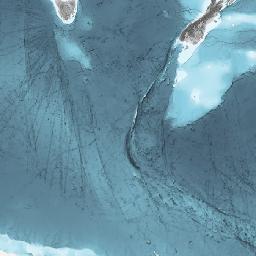
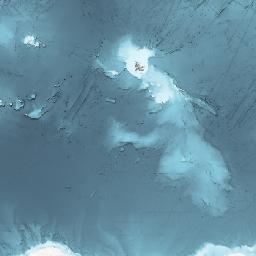
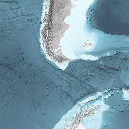
These data are gridded seismic reflection horizons that represent 1) the base of an interpreted mass transport deposit and 2) the base of the gas hydrate stability zone in sediments. Horizontal dimesnions are in metres, while the vertical dimension is in seconds two-way travel time. The horizons were generated during 2020, using the Kingdom Suite software (version 2019). The data are interpreted products based on seismic data from Research Voyage TAN1808 aboard RV Tangaroa. They are provided here as space delimmited ascii files.
Keyword(s):
Coverage:
Latitude: -41.942900 * Longitude: 175.301800
Date/Time Start: 2018-09-09T12:54:34 * Date/Time End: 2018-09-25T02:38:27
Event(s):
61TG20180908-track * Latitude Start: -41.518510 * Longitude Start: 176.106630 * Latitude End: -41.369400 * Longitude End: 176.315250 * Date/Time Start: 2018-09-09T12:54:34 * Date/Time End: 2018-09-25T02:38:27 * Campaign: 61TG20180908 (TAN1808) * Basis: Tangaroa * Method/Device: Underway cruise track measurements (CT)
Comment:
Format x y t (space delimeted ascii file, where "t" is two-way time in s).
Parameter(s):
| # | Name | Short Name | Unit | Principal Investigator | Method/Device | Comment |
|---|---|---|---|---|---|---|
| 1 | LATITUDE | Latitude | Crutchley, Gareth J | Geocode – midpoint | ||
| 2 | LONGITUDE | Longitude | Crutchley, Gareth J | Geocode – midpoint | ||
| 3 | Figure | Fig | Crutchley, Gareth J | |||
| 4 | Coordinate reference system | CRS | Crutchley, Gareth J | |||
| 5 | Binary Object | Binary | Crutchley, Gareth J | |||
| 6 | Binary Object (Media Type) | Binary (Type) | Crutchley, Gareth J | |||
| 7 | Binary Object (File Size) | Binary (Size) | Bytes | Crutchley, Gareth J |
License:
Creative Commons Attribution 4.0 International (CC-BY-4.0)
Size:
6 data points
Data
All files referred to in data matrix can be downloaded in one go as ZIP or TAR. Be careful: This download can be very large! To protect our systems from misuse, we require to sign up for an user account before downloading.
| 1 Latitude | 2 Longitude | 3 Fig | 4 CRS | 5 Binary | 6 Binary (Type) | 7 Binary (Size) [Bytes] |
|---|---|---|---|---|---|---|
| -41.9429 | 175.3018 | 6a | UTM60S (WGS84 datum) (EPSG:32760) | Figure6a_Base_MTD3_grid_two-way-time.dat | text/plain | 4.7 MBytes |
| -41.9429 | 175.3018 | 6b | UTM60S (WGS84 datum) (EPSG:32760) | Figure6b_BGHSZ_grid_two-way-time.dat | text/plain | 7.2 MBytes |