
Yang, Junjun (2020): Seafloor topography of northeast Greenland estimated from Oceans Melting Greenland airborne gravity [dataset]. PANGAEA, https://doi.org/10.1594/PANGAEA.913524
Always quote citation above when using data! You can download the citation in several formats below.
Published: 2020-03-17 • DOI registered: 2020-03-17
Abstract:
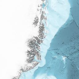
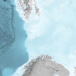
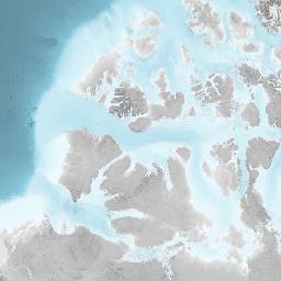
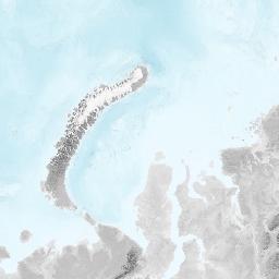
We infer seafloor topography of the inner continental shelf of northeast Greenland from airborne gravity disturbance measured by National Aeronautics and Space Administration's Oceans Melting Greenland (OMG) mission through a nonlinear inversion method called simulated annealing, and results in a model with 1.95~3.9 km resolution and 52 m accuracy. The model provides a view of the seafloor near Zachariæ Isstrøm glacier, where bathymetric survey tracks are sparse. The model, 'gravity_estimated_seafloor_topography_of_northeast_Greenland.nc', is in NetCDF format which can be read through MATLAB commands "ncdisp" and "ncread". Contents of the model can be found in "contents.txt". "nc2mat.m" is a MATLAB program that reads the NetCDF format model and saves the variables to a MATLAB ".mat" format file.
Keyword(s):
Supplement to:
Yang, Junjun; Luo, Zhicai; Tu, Liangcheng (2020): Ocean Access to Zachariæ Isstrøm Glacier, Northeast Greenland, Revealed by OMG Airborne Gravity. Journal of Geophysical Research: Solid Earth, 125(11), https://doi.org/10.1029/2020JB020281
Coverage:
Latitude: 76.500000 * Longitude: -21.500000
License:
Creative Commons Attribution 4.0 International (CC-BY-4.0)
Size:
1 MBytes
Download Data
Datasets with similar metadata
- Klug, M; Schmidt, S; Bennike, O et al. (2009): Lake sediments from Store Koldewey, Northeast Greenland. https://doi.org/10.1594/PANGAEA.727695
- Franke, S; Jansen, D; Binder, T et al. (2019): Bedrock topography and ice thickness in the onset region of the Northeast Greenland Ice Stream recorded with the airborne AWI Ultra-Wideband radar (UWB) in 2018. https://doi.org/10.1594/PANGAEA.907918
- Schröder, L; Neckel, N; Humbert, A (2020): Time series of lake size changes in Northeast Greenland. https://doi.org/10.1594/PANGAEA.918707