


Tiedemann, Ralf (2015): Linescanner images of sediment core SO201-2-127 [dataset]. Alfred Wegener Institute, Helmholtz Centre for Polar and Marine Research, Bremerhaven, PANGAEA, https://doi.org/10.1594/PANGAEA.844476
Always quote citation above when using data! You can download the citation in several formats below.
Published: 2015-03-18 • DOI registered: 2021-06-16
Further details:
Project(s):
Coverage:
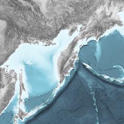
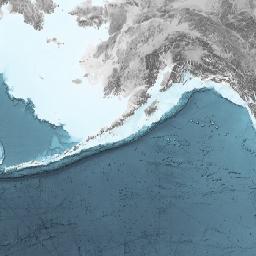
Latitude: 54.394333 * Longitude: 162.222667
Date/Time Start: 2009-09-30T03:15:00 * Date/Time End: 2009-09-30T04:07:00
Minimum DEPTH, sediment/rock: 0.270 m * Maximum DEPTH, sediment/rock: 5.040 m
Event(s):
Comment:
RGB and Lab raw data: SO201-2-127_color.zip
Parameter(s):
| # | Name | Short Name | Unit | Principal Investigator | Method/Device | Comment |
|---|---|---|---|---|---|---|
| 1 | DEPTH, sediment/rock | Depth sed | m | Geocode | ||
| 2 | Depth, top/min | Depth top | m | Tiedemann, Ralf | ||
| 3 | Depth, bottom/max | Depth bot | m | Tiedemann, Ralf | ||
| 4 | File size | File size | kByte | Tiedemann, Ralf | of TIFF | |
| 5 | Uniform resource locator/link to image | URL image | Tiedemann, Ralf | Line Scan Camera | TIFF | |
| 6 | Uniform resource locator/link to image | URL image | Tiedemann, Ralf | Line Scan Camera | JPEG, overview |
License:
Creative Commons Attribution 3.0 Unported (CC-BY-3.0)
Size:
35 data points
Download Data
Datasets with similar metadata
- Diekmann, B (validated): Linescanner images of sediment core PG1857-5. https://doi.pangaea.de/10.1594/PANGAEA.761192
- Diekmann, B (validated): Linescanner images of sediment core PG1857-2. https://doi.pangaea.de/10.1594/PANGAEA.761191
- Diekmann, B (validated): Linescanner images of sediment core PG1856-3. https://doi.pangaea.de/10.1594/PANGAEA.761190