Grobe, Hannes (2009): Documentation of sediment core PS2109-1 [dataset]. Alfred Wegener Institute - Polarstern core repository, PANGAEA, https://doi.org/10.1594/PANGAEA.725665
Always quote citation above when using data! You can download the citation in several formats below.
Published: 2009-07-16 • DOI registered: 2009-08-13
Project(s):
Coverage:
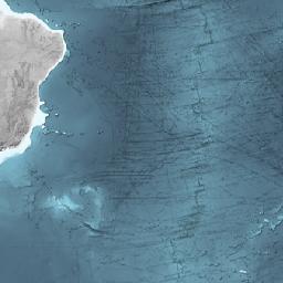
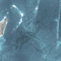
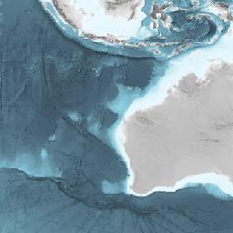
Latitude: -34.999830 * Longitude: 3.166830
Date/Time Start: 1991-04-16T04:47:00 * Date/Time End: 1991-04-16T04:47:00
Minimum Elevation: -5041.0 m * Maximum Elevation: -5041.0 m
Event(s):
PS2109-1 (PS18/267) * Latitude: -34.999830 * Longitude: 3.166830 * Date/Time: 1991-04-16T04:47:00 * Elevation: -5041.0 m * Penetration: 6 m * Recovery: 5.01 m * Location: Cape Basin * Campaign: ANT-IX/4 (PS18) * Basis: Polarstern * Method/Device: Gravity corer (Kiel type) (SL) * Comment: 6 core sections: 0-0.19, 0.19-1.19, 1.19-2.01, 2.01-3.01, 3.01-4.01, 4.01-5.01 m; 15m Lot; ca 6m bended
License:
Creative Commons Attribution 3.0 Unported (CC-BY-3.0)
Size:
unknown
Download Data
Datasets with similar metadata
- Grobe, H (2009): Documentation of sediment core PS2108-3. https://doi.org/10.1594/PANGAEA.725664
- Grobe, H (2003): Documentation of sediment core PS2074-1. https://doi.org/10.1594/PANGAEA.108219
- Grobe, H (2003): Documentation of sediment core PS2073-2. https://doi.org/10.1594/PANGAEA.108218